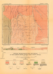
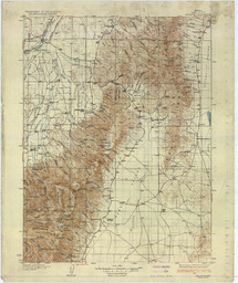
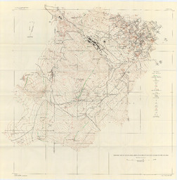
Geological Reconnaissance Map and Section of the Jarbidge Mining District, Elko County, Nevada Image Read more about Geological Reconnaissance Map and Section of the Jarbidge Mining District, Elko County, Nevada
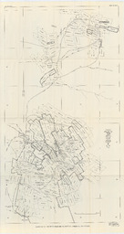
Composite Map of Hawthorne-Alum Creek Mining District Formerly Mt. Cory District "Lucky Boy" Image Read more about Composite Map of Hawthorne-Alum Creek Mining District Formerly Mt. Cory District "Lucky Boy"
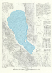
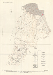
Reconnaissance Bathymetry of Pyramid Lake, Washoe County, Nevada Image Read more about Reconnaissance Bathymetry of Pyramid Lake, Washoe County, Nevada
Geological Reconnaissance Map of Portions of Southwestern Nevada and Eastern California Image Read more about Geological Reconnaissance Map of Portions of Southwestern Nevada and Eastern California
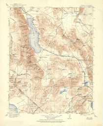
Nevada (Elko County) Halleck Quadrangle Image Read more about Nevada (Elko County) Halleck Quadrangle
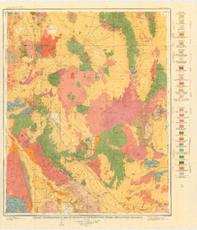
Geological and Topographic Map of the Reese River Mining District, Lander County, Nevada Image Read more about Geological and Topographic Map of the Reese River Mining District, Lander County, Nevada
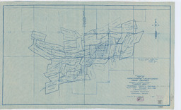
Geological Map of Austin Area, Reese River Mining District, Lander County, Nevada Image Read more about Geological Map of Austin Area, Reese River Mining District, Lander County, Nevada
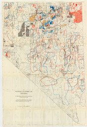
Claim Map of the Reese River Mining District, Lander County, Nevada Image Read more about Claim Map of the Reese River Mining District, Lander County, Nevada