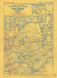
Automobile Roads from Sacramento and Stockton to Lake Tahoe and Vicinity Image Read more about Automobile Roads from Sacramento and Stockton to Lake Tahoe and Vicinity
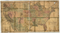
Map of the United States and Territories, showing the extent of Public Surveys and other details Image Read more about Map of the United States and Territories, showing the extent of Public Surveys and other details
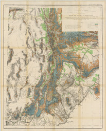
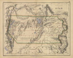
Map Of Utah Territory Representing the Extent of the Irrigable Timber and Pasture Lands Image Read more about Map Of Utah Territory Representing the Extent of the Irrigable Timber and Pasture Lands
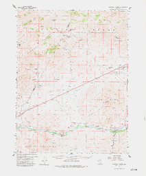
Clan Alpine Ranch Quadrangle Nevada-Churchill Co. 15 Minute Series (Topographic) Image Read more about Clan Alpine Ranch Quadrangle Nevada-Churchill Co. 15 Minute Series (Topographic)
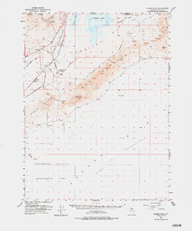
Churchill Butte Quadrangle Nevada 15 Minute Series (Topographic) Image Read more about Churchill Butte Quadrangle Nevada 15 Minute Series (Topographic)
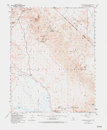
Chloride Cliff Quadrangle California-Nevada 15 Minute Series (Topographic) Image Read more about Chloride Cliff Quadrangle California-Nevada 15 Minute Series (Topographic)
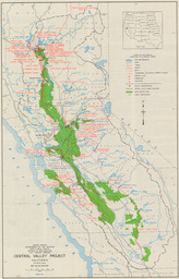
Central Valley Project California Mid-Pacific Region Map No. 214-208-5133 Image Read more about Central Valley Project California Mid-Pacific Region Map No. 214-208-5133
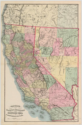
Watson's New County Railroad and Sectional Map of California and Nevada Image Read more about Watson's New County Railroad and Sectional Map of California and Nevada
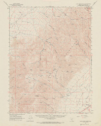
Carson Sink Quadrangle Nevada-Churchill Co. 15 Minute Series (Topographic) Image Read more about Carson Sink Quadrangle Nevada-Churchill Co. 15 Minute Series (Topographic)